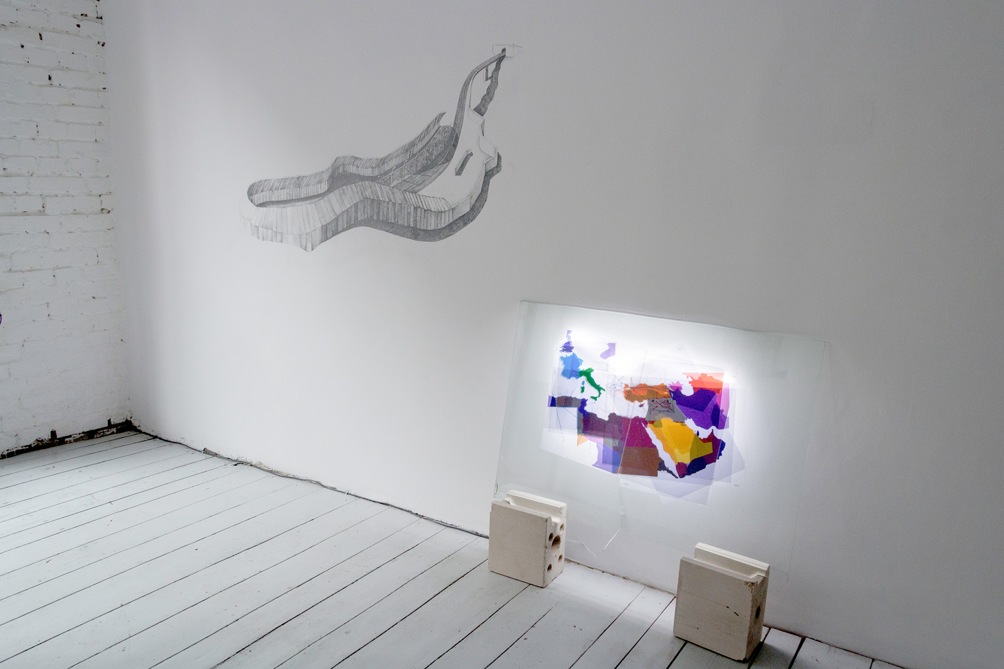
| « Map of former external territories, people displacements (Middle East) », digital prints on paper, sunflower oil, colored threads, Leds, Plexiglass, 100×100 cm, 2016. View from the show « Die Gezeiten » (the Tides), Transmitter, Berlin. « Map of former external territories, people displacements (Middle East) » // Carte d’anciens territoires extérieurs, déplacement des peuples (Moyen Orient), impressions numériques sur papier, huile de tournesol, fils colorés, Leds, Plexiglass, 100×100 cm, 2016. Vue de l’exposition « Die Gezeiten » (Les marées), Transmitter, Berlin. |
| 1914 – 2015… From the fall of the Ottoman Empire to the European influences, and murdered, displaced or fleeing people… The artwork is showing surfaces, the fine threads of human displacements. Every phase is printed on a paper layer, the transparency is making the reading almost impossible. 1914 – 2015… De la chute de l’Empire Ottoman, aux influences européennes, et peuples assassinés, déplacés ou fuyant les conflits… |